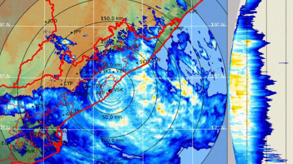
Bhubaneswar, July 15, 2025 — The India Meteorological Department (IMD) has issued a Red Alert for Odisha, warning of extremely heavy rainfall in several districts as a well-marked low-pressure system intensifies over southern Bangladesh and adjoining Gangetic West Bengal.
According to IMD weather scientist Umashankar Das, the system has become more active as of 5:30 AM today and is expected to cause extreme rainfall exceeding 21 cm in isolated areas of the state within the next 24 hours.
Heavy Rain and Flood Risk Across Coastal and Northern Odisha
The intensified system is already impacting several districts, including Bhadrak, Jajpur, Dhenkanal, Angul, and Keonjhar, with the Paradip radar confirming widespread precipitation. The IMD has forecast heavy to very heavy rain (7–20 cm) in multiple locations, with extremely heavy rain (21 cm or more) possible in certain pockets.
The Red Alert highlights the potential for flash floods, waterlogging, and strong surface winds, especially in low-lying and vulnerable areas. Authorities have urged residents to remain cautious and follow official advisories.
Rainfall Expected to Persist Till July 19
The Regional Meteorological Centre in Bhubaneswar has projected that this intense spell of monsoon rain will continue till July 19, driven by the combined effect of the current Bay of Bengal system and a secondary low-pressure area over northwest Madhya Pradesh.
In addition to heavy rain, thunderstorms and gusty winds are likely across Odisha, with emphasis on coastal and interior districts that lie directly in the path of the active systems.
Precautionary Measures Advised
With the IMD’s Red Alert in place, residents and local administrations are advised to:
-
Avoid travel in heavily affected regions
-
Stay away from waterlogged and landslide-prone areas
-
Follow updates from official weather and disaster management channels