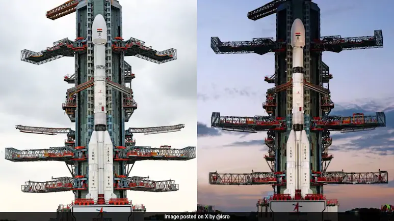
Sriharikota, Andhra Pradesh: The world’s most expensive civilian Earth-imaging satellite, NISAR (NASA-ISRO Synthetic Aperture Radar), has been successfully launched into orbit from the Satish Dhawan Space Centre. The landmark mission marks a new era of international collaboration in space technology.
The Geosynchronous Satellite Launch Vehicle (GSLV-F16) lifted off sharply at 5:40 PM IST, carrying the $1.3 billion (approx. ₹11,000 crore) NISAR satellite, a joint mission developed by ISRO and NASA.
“Liftoff. And we have liftoff! GSLV-F16 has successfully launched with NISAR onboard,” ISRO posted on its official X (formerly Twitter) handle, confirming the successful deployment.
What is NISAR?
NISAR is a 2,392 kg state-of-the-art satellite designed for Earth observation. It uses advanced dual-frequency synthetic aperture radar (SAR) — the L-band provided by NASA and the S-band developed by ISRO — to monitor Earth’s land and ocean surfaces with millimeter-level precision.
It will orbit the Earth every 97 minutes and capture detailed images of the planet’s surface every 12 days, including forests, glaciers, coastal zones, agricultural lands, and urban sprawl.
The satellite has been placed in a Sun Synchronous Polar Orbit, a unique feat for a GSLV vehicle, as such orbits are typically handled by PSLVs.
First-of-its-Kind ISRO-NASA Partnership
This mission is the first collaboration between NASA and ISRO involving joint design, development, and deployment of a spaceborne radar imaging satellite.
“From a humble beginning with Aryabhata in 1975 to leading global space innovation today… this launch shows how far India has come,” said ISRO Chairman Dr. V Narayanan, speaking to NDTV.
“I am extremely happy. NISAR has been successfully and precisely injected into its intended orbit,” he added post-launch.
Why NISAR is a Game-Changer
-
Dual-Frequency Radar: Offers unmatched Earth observation capabilities, enabling accurate monitoring through clouds, vegetation, smoke, and even during nighttime.
-
Disaster Management: Can predict earthquakes, landslides, floods, and glacier collapses by detecting tiny changes in the Earth’s surface.
-
Climate Change Monitoring: Supports global efforts in tracking ice melt, deforestation, and groundwater depletion.
-
Open Data Access: All scientific data will be freely available to researchers worldwide, fostering global climate research and disaster response strategies.
Mission Specs
-
Launch Vehicle: GSLV-F16
-
Radar Bands: L-band (NASA), S-band (ISRO)
-
Weight: 2,392 kg
-
Orbit: Sun Synchronous Polar Orbit (SSPO)
-
Revisit Time: 12 days
-
Mission Life: 5 years
India’s Strategic Leap in Space Technology
The NISAR mission highlights India’s growing role in global space cooperation. With the satellite being launched from Indian soil, India demonstrates its technological maturity and launch capability for complex missions.
The GSLV’s successful deployment of a satellite into a Sun-synchronous orbit also opens new possibilities for India’s heavy-lift launch capabilities.